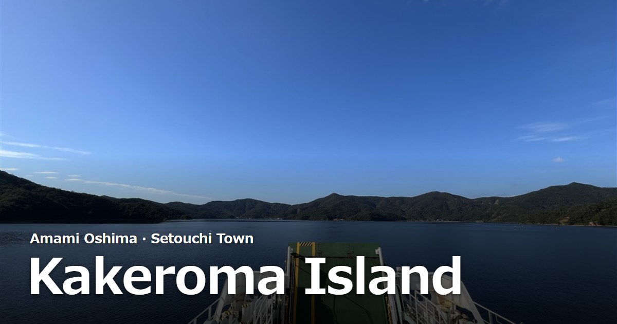
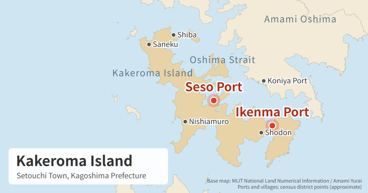
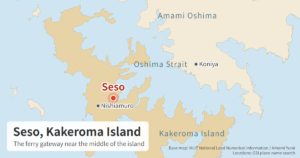
Kakeroma Island (加計呂麻島, Kakeromajima) lies just south of Amami Oshima, facing the town of Koniya (古仁屋) across the Oshima Strait. The whole island belongs to Setouchi Town, Oshima District, Kagoshima Prefecture, and 30 villages sit along its deeply indented coastline. From Koniya Port, the town-run ferry takes 20 to 25 minutes. This guide covers the basics of the island — where it is, how big it is, how people live there — and how to plan getting around once you arrive. Timetables and the stories of individual villages are in the articles linked along the way.
Information checked: October 24, 2026
Kakeroma Island at a glance
| Item | Details |
|---|---|
| Location | Setouchi Town, Oshima District, Kagoshima Prefecture |
| Position | South of Amami Oshima, across the Oshima Strait from Koniya |
| Area | 77.25 km² (Geospatial Information Authority of Japan, as of July 1, 2026) |
| Villages | 30 |
| Population | 941 people in 685 households (town resident register, end of September 2026) |
| Ferry to the island | Ferry Kakeroma, run by the town (Koniya Port – Seso Port / Ikenma Port) |
| Getting around | Kakeroma Bus (6 routes), rental cars |
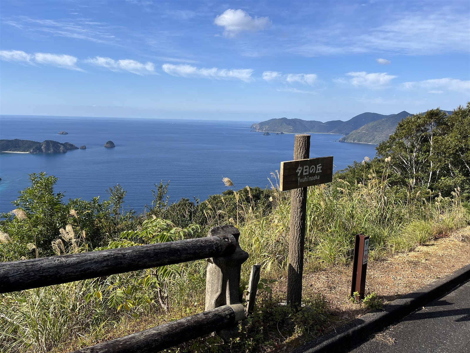
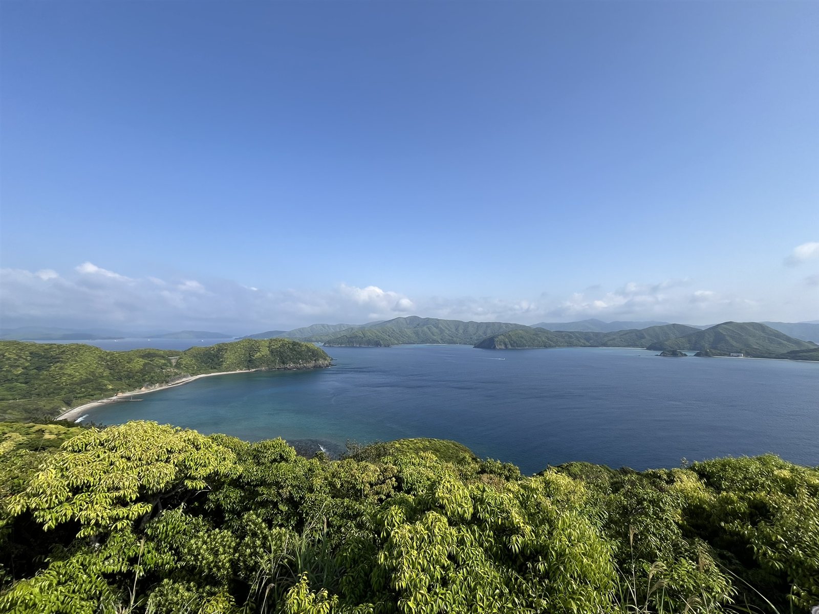
Kakeroma Island is long and narrow, hilly, with a coastline full of inlets. A 2005 archaeological survey report by Setouchi Town describes the town’s islands as lines of hills 300 to 400 meters high, with steep slopes running down to the sea and very little flat land, so that almost every village looks out over the water.
Part of the sea around the island is included in the “Oshima Strait” marine park zone of Amami Gunto National Park, designated on March 7, 2017. The sea at Saneku (実久), at the island’s western tip, is known as “Saneku Blue,” and the coral sea in front of Shiba (芝), at the northwestern tip, is also inside the national park’s marine park zone.
Life is organized by village
On Kakeroma Island, life has long been carried on village by village. In 1908 the whole island became Chinzei Village (鎮西村), and in 1916 the western part split off as Saneku Village (実久村). In 1956 the two villages merged with Koniya Town and Nishikata Village to form today’s Setouchi Town. The former Saneku Village has 14 villages, and the Kakeroma side of the former Chinzei Village has 16.
The basic layout of a village on Kakeroma Island is a festival ground called the miya (ミャー) at the center, buildings used for festivals around it, and houses lined up along the shore. Within Amami, this area is one where the rituals of the noro (female priestesses) continued comparatively well, and many studies record each village’s festivals and places of prayer.
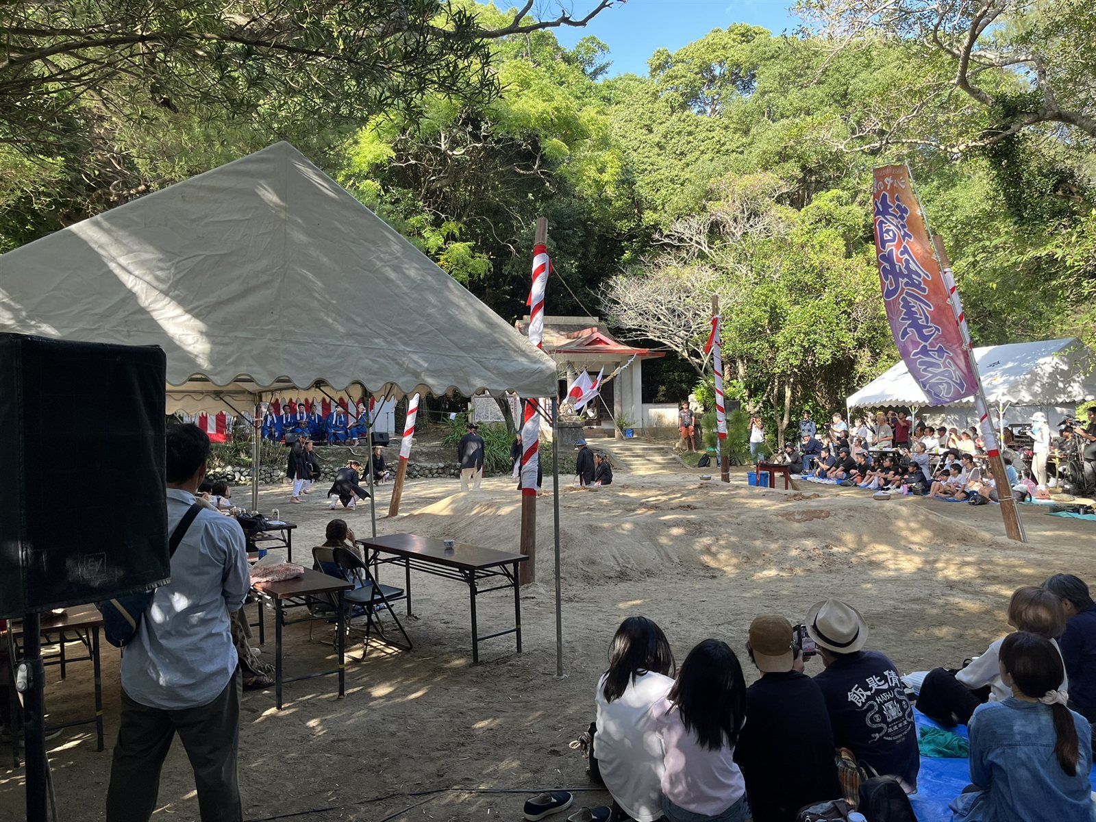
The island’s population is 941 (end of September 2026, town resident register). Looking at village-level figures from the 2020 census, most villages are home to a few dozen people.
Clues to the island’s history and culture differ from village to village. Here are a few examples.
- Shodon Shibaya: A folk performance handed down in Shodon (諸鈍) village and designated an Important Intangible Folk Cultural Property of Japan in 1976. It is performed at Ochon Shrine (大屯神社) on the 9th day of the 9th month of the lunar calendar
- The ashage of Kakeroma: An ashage is a village building used for festivals. Three of them, in Sukomo (須子茂), Miura (三浦) and Adachi (阿多地) in the west of the island, were designated Tangible Cultural Properties of Kagoshima Prefecture in 2020
- Memories of the strait and the war: The Oshima Strait became a navy base, and in 1941 a navy headquarters (later the Oshima Defense Unit) was set up on the east shore of the bay across from Seso village. At Ankyaba (安脚場), on the eastern tip of the island, the remains of a gun battery and a defense observation post can still be seen
- Toshio Shimao and the Shinyo unit: The 18th Shinyo Unit, a special attack unit of “Shinyo” suicide motorboats, was stationed at Nominoura (呑之浦). Its commander was Toshio Shimao (島尾敏雄), who later became a writer. Novels and films set on the island are well known, and the base site is now the Shimao Literary Monument Park
- Film locations: Shodon and Tokuhama (徳浜) are known as locations for the Tora-san film Otoko wa Tsurai yo: Torajiro Kurenai no Hana (1995)
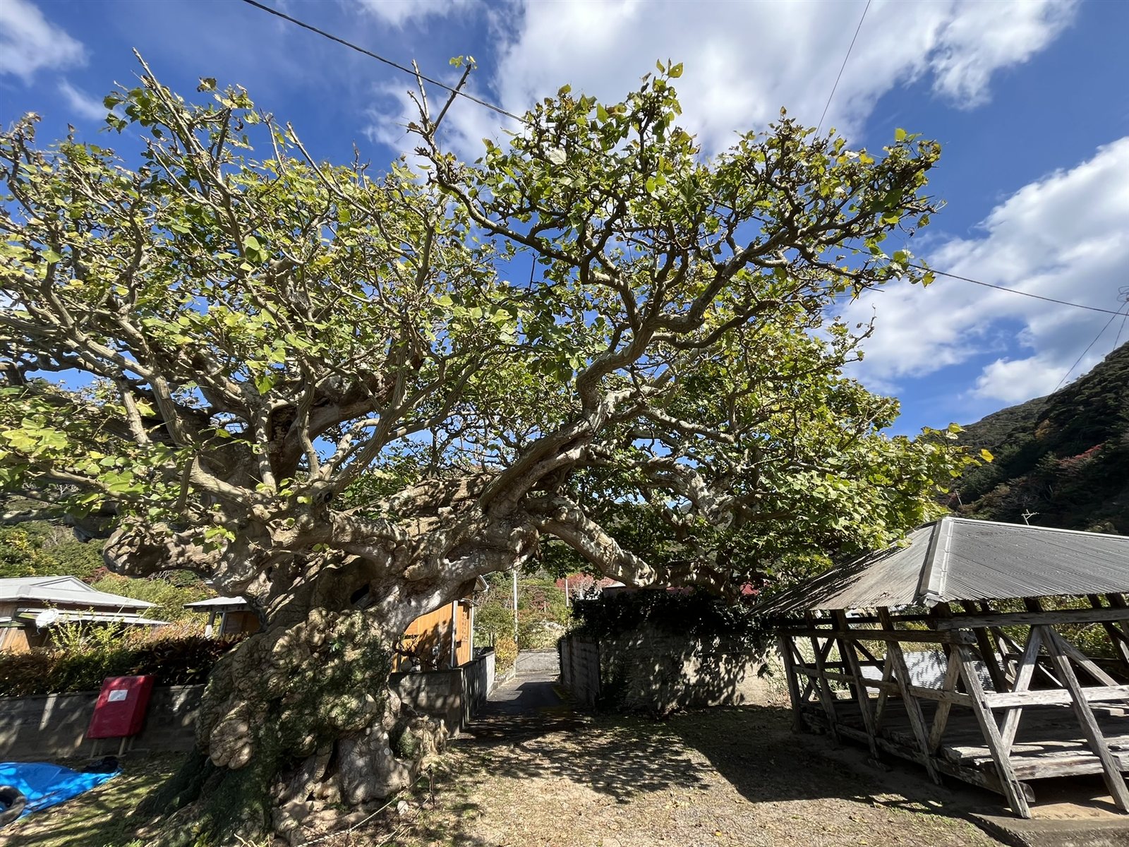
Getting to the island: two ports, Seso and Ikenma
To reach Kakeroma Island, first head for Koniya in the south of Amami Oshima. Buses from Naze and Amami Airport to Koniya are covered in How to Get to Koniya Port.
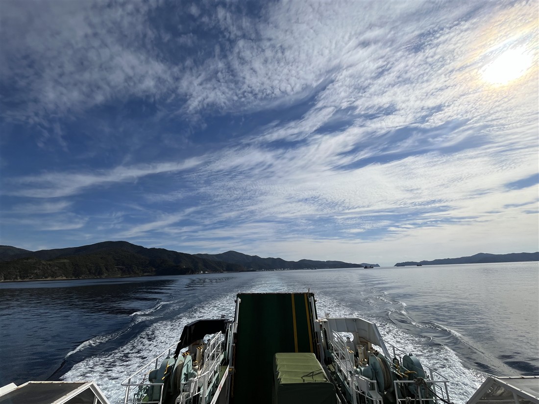
From Koniya Port, you cross on the “Ferry Kakeroma,” operated by Setouchi Town. The island has two ports: Seso (瀬相) near the middle of the island, and Ikenma (生間) toward the east. Seven sailings a day go to the two ports in turn (4 to Seso, 3 to Ikenma). A one-way trip takes 25 minutes to Seso and 20 minutes to Ikenma.
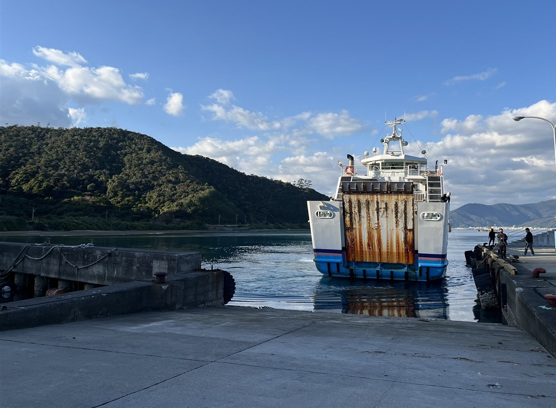
Three things to know before you cross:
- Which port you use changes which part of the island is easy to reach. You can also arrive at one port and leave from the other
- The last ferry back leaves earlier from Ikenma than from Seso. Be especially careful if you plan to return from the Ikenma side
- You can reserve space if you are bringing a car. Reservations open one week before the sailing date at the Koniya terminal; same-day reservations are taken at each terminal. Space for vehicles is limited. If you want to take a rental car across, check with the rental company in advance that it may go on the ferry
Timetables, fares and how to reserve space for a car are in Ferry Kakeroma Timetable and Fares. Sailings can change due to weather or local events. You can check the service status through the town’s ferry service notification tool (X and email) or at each terminal.
Besides the ferry, you can also cross from Koniya by water taxi. Contact details are listed on the “Getting around the town” page of the Setouchi Town official website (in Japanese).
Getting around once you arrive
There is no bus that circles the island. The Kakeroma Bus routes branch out from Seso Port and Ikenma Port to the villages in each direction. Buses leave as soon as the ferry arrives, so it is best to decide on your route and destination before you board the ferry. To travel between routes, change buses at Seso or Ikenma.
The table below lists the main villages on each bus route, with links to Amami Yurai’s village articles.
| Direction (bus route) | Starting port | Main villages |
|---|---|---|
| West to Saneku (Seso – Saneku line) | Seso | Hyo, Miura, Takena, Kiji, Setake, Satsukawa, Shiba, Saneku (all in Japanese) |
| To Sukomo and Adachi (Seso – Adachi line) | Seso | Hyo, Kanyu, Sukomo, Adachi (all in Japanese) |
| South to Nishiamuro (Seso – Nishiamuro line) | Seso | Nishiamuro (in Japanese) |
| To Ikenma via Akitoku (Seso – Akitoku – Ikenma line) | Seso, Ikenma | Osai, Ikomo, Kedomi, Seri, Sachiyuki, Akitoku, Nomiyama (in Japanese), Shodon |
| To Ikenma via Oshikaku (Seso – Oshikaku – Ikenma line) | Seso, Ikenma | Nominoura, Oshikaku, Kachiyuki, Shokazu (all in Japanese) |
| East to Tokuhama (Ikenma – Tokuhama line) | Ikenma | Doren, Ankyaba (in Japanese), Shodon, Tokuhama (in Japanese) |
The port villages themselves are introduced in the articles on Seso and Ikenma. Chinoura (知之浦, in Japanese), at the tip of a peninsula off the bus routes, is reached by car on a town road from Miura. If your time is limited, choosing villages on the same side as your port will keep travel to a minimum.
The island is long from east to west, and some places take more than 30 minutes by car from the port. Approximate driving times between main points are as follows.
| Between | Approx. time by car |
|---|---|
| Seso ⇔ Saneku (western tip) | About 35–40 min |
| Seso ⇔ Ikenma (between the two ports) | About 35–40 min |
| Seso ⇔ Nishiamuro (south coast) | About 15 min |
| Ikenma ⇔ Ankyaba (eastern tip) | About 15 min |
| Shodon ⇔ Tokuhama (Pacific side) | About 10–15 min |
These times are rough guides. Each is the time between two separate points, not a suggested order of visits or a day plan. Island roads are narrow with many curves, so allow plenty of time.
Timetables and fares for each route, connections with the ferry, and the sections that need a reservation (on-demand service) are covered in Kakeroma Island Bus Timetables and Fares. Bus travel times differ by service, so check the timetable.
Other ways to get around:
- Rental cars: There are rental car shops around Seso Port and Ikenma Port. Renting on the island means you don’t need to take a car on the ferry. Conditions such as where you pick up and return the car can differ by shop, so reserve and confirm before you cross
- Chartered Kakeroma Bus: You can charter a bus whose driver also serves as a guide, taking you to places you choose within the hired time. It is available even for small groups
- Public ride-sharing (trial): The town plans a trial of paid rides in private cars, based at Seso and Ikenma, from November 9, 2026 to January 11, 2027
There are no taxis on the island. Plan how you will move around by combining buses, rental cars and chartered buses.
Before you go: meals, places to stay, toilets and fuel
It helps to check the following before you go.
- Meals: Places to eat and small shops are found around the ports and in some villages. Opening days and hours differ by shop, and they may close without notice. For restaurants, book ahead and tell them how many people are coming. Deciding where to have lunch before you cross will save you trouble on the island. Shop information is in each village article
- Places to stay: If you are staying overnight, ask your accommodation directly whether meals are included and what they are. If you are staying without meals, you need to plan how you will eat. Another option is to buy food in Koniya before you cross
- Toilets: The Kakeroma Terminal at Seso Port (opened July 2025) has toilets open 24 hours. The terminal also houses a post office and a town hall service counter. Some villages have toilets and showers, which the villagers look after. Please use them with care
- Fuel: The island’s only gas station is in Seso. If you are driving around, check its opening hours in advance
- Mobile signal: There are places where your phone may not get a signal
When you visit
- The villages are places where people live. The miya festival grounds, shrines and places of prayer are still used for festivals. Please visit quietly
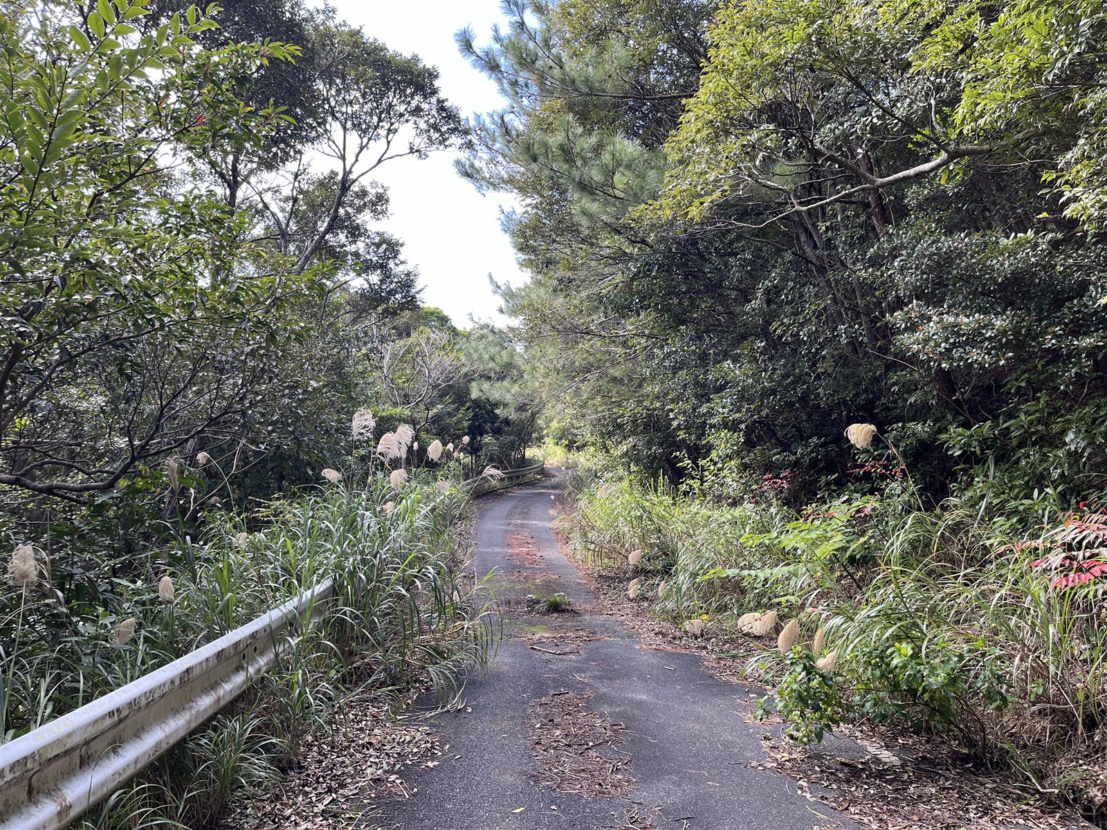
- Island roads are narrow and winding. Drive below 40 km/h, and slowly inside villages
- Do not take any living things, and do not touch the coral. Take your trash home, and wear a life jacket when swimming
- Some war sites have not been prepared for visitors. Visit them with a guide. Watch out for habu (venomous snakes) when entering grass or woods
- Road and port conditions and shop hours can change. If anything concerns you, check with Setouchi Town or the businesses before you go
Related articles
- Ferry Kakeroma Timetable and Fares | Koniya ⇔ Kakeroma Island (Seso / Ikenma)
- Kakeroma Island Bus Timetables and Fares | 6 Kakeroma Bus Routes and Ferry Connections
- How to Get to Koniya Port | Bus Timetables from Naze and Amami Airport
- Yuidake Observatory, Amami Oshima: Views over the Oshima Strait and Kakeroma Island (an observatory on the Amami Oshima side with a view over the strait and the island)
- How to Get to Ukejima and Yorojima | Setonami Ferry Timetable and Fares (the other two inhabited islands of Setouchi Town)
- The five municipalities of Amami Oshima compared (in Japanese)
Sources
- Geospatial Information Authority of Japan, “Areas of Prefectures, Cities, Wards, Towns and Villages, 2026 (as of July 1)”: island areas
- Setouchi Town, “Population and Households (end of September 2026)”: population and households by island
- Statistics Bureau of Japan, e-Stat, “2020 Census, small-area statistics (Setouchi Town)” (population of the 24 oaza districts of Kakeroma Island)
- Setouchi Town Board of Education, Detailed Survey Report on Archaeological Sites in Setouchi Town (2005), Chapter 2 “Overview of Setouchi Town” and Chapter 5 (Kenjiro Machi, “Folk space of artifact scatter sites”)
- Setouchi Town Board of Education, Archaeological Sites in Setouchi Town 3 (2022)
- Shuhei Nemoto, “A survey of vacant houses on Kakeroma Island,” Toshi Keiei no. 11 (Fukuyama City University, 2019)
- Makoto Oguma, “Ancestral tablets and grave rituals in Nishiamuro” (1989)
- Ministry of the Environment, “Amami Gunto National Park”
- Cultural Heritage Online, “Shodon Shibai” and “The ashage of Kakeroma”
- Setouchi Town official website, “Ferry Kakeroma and Setonami timetables,” “Ferry Kakeroma fares” and “Getting around the town”
- Kakeroma Bus official website, “Timetables,” “FAQ” and “Fares”
- Amami Setouchi Tourism Association, “Kakeroma Island Guide Map” (January 2024 edition): approximate travel times, taxis, and advice on meals, accommodation, roads and nature, all as of January 2024
- Nankai Nichinichi Shimbun (opening of the Kakeroma Terminal; public ride-sharing trial)
- Gas station and taxis on the island: the Tourism Association guide map (January 2024 edition) and a check in October 2026

Comments